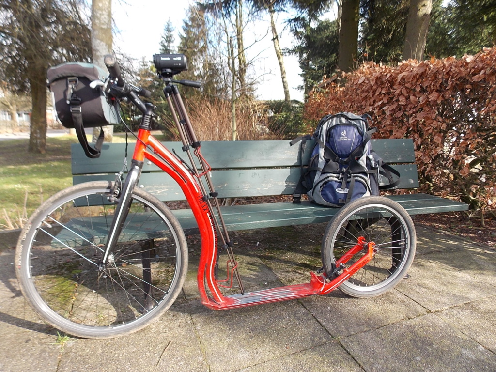
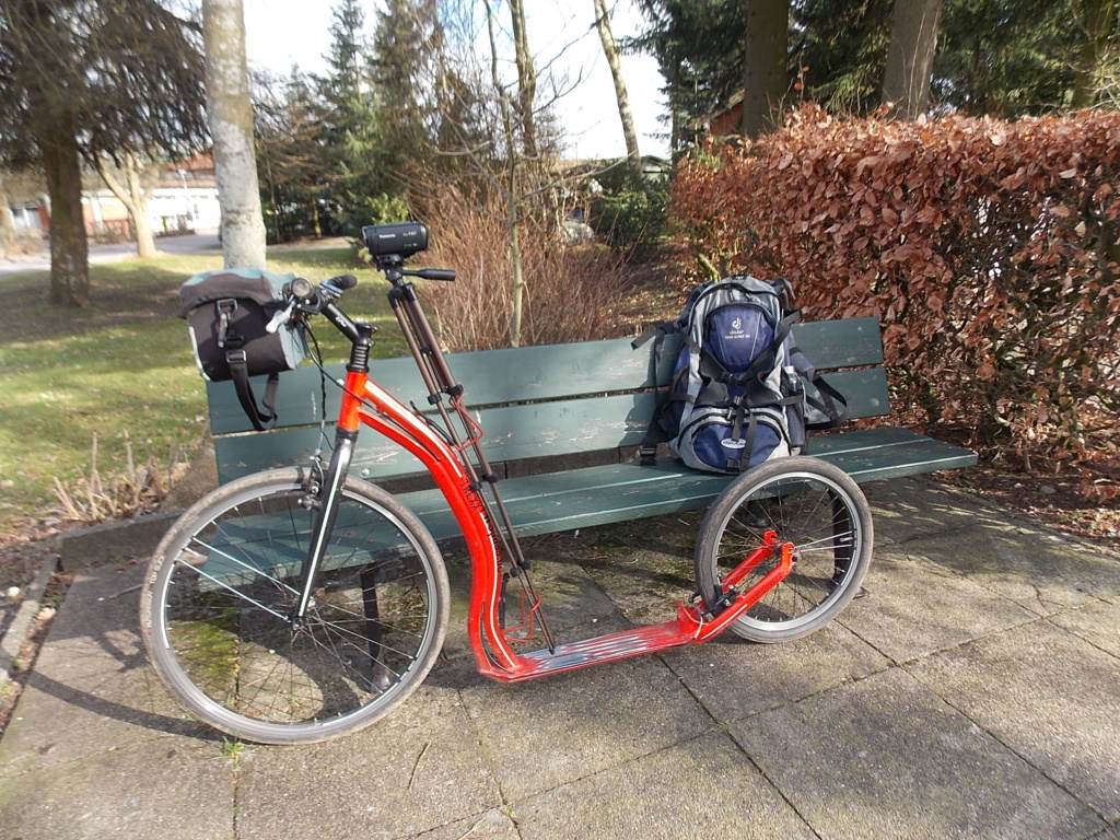
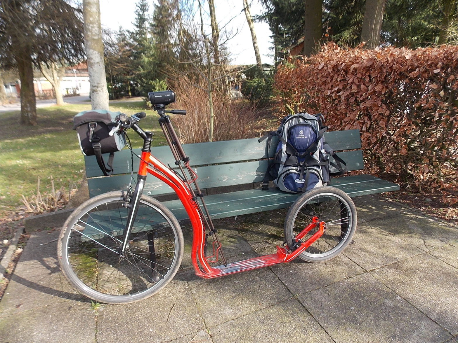
TRETROLLER/scooter
FWSpass.de Schleswig-Holstein
OWSCHLAG → HÜTTENER BERGE T1/mountains
Start/begin: Rundweg/flatly
Route: Es fährt sich vom Bahnhof aus erst einmal schön flach entlang, bis wir die A7 hinter uns gelassen haben. Dann wird es hügelig. Das geht dann bis kurz vor die Autobahn und es ist wieder alles flach, gute 29 km.
From the train station, it drives along nice and flat until we have left the A7 behind us. Then it gets hilly. That goes until shortly before the motorway and everything is flat again, a good 29 km.
Ziel/finish: Rundweg/flatly
Start und Ziel/begin and finish: Bahnhof/railway station in Owschlag
Route: Rundweg/flatly OWSCHLAG → HÜTTENER BERGE T1/mountains / 29 km ↑ 142 m ↓ 142 m
Dauer: 2,5 Stunden
Schwierigkeit: leicht bis mittel/easy to medium, alles von Asphalt bis Waldweg und Betonspurweg/everything from asphalt to forest paths and concrete lane paths, Picknickplätze und Schutzhütte/picnic areas and refuge
Sehenswürdigkeiten: Hüttener Berge/mountains mit/with Aschberg und/and Bismarck Statue
Downloads:
gpx-Datei für GPS-Geräte/Kartenprogramme von BROUTER
Hier ist Google Maps zu finden: Google Maps Tretroller OWSCHLAG und HÜTTENER BERGE T1
Start vom Bahnhof Owschlag im Uhrzeigersinn
Start from Owschlag train station in a clockwise direction
Stand: Winter 2021
Allzeit gutes Rollen!
Ihr Michael-Arthur Rieck
P.S.: Und hier noch ein Video bei YouTube als „Anreger“: https://youtu.be/78QdmfTf8Hw
Fotos:


Übersicht TRETROLLER
© Copyright 2021 bei FWSpass.de, Ascheffel

